Wednesday, 20 August 2014

Purnululu National Park (Bungle Bungle)


Purnululu is the aboriginal name for the layered sandstone formations. The name of the National Park has been recently changed because nobody seems to know why it was called Bungle Bungle in 1983, when it was "discovered" by a film crew. 
Only 20% of the park contains the famous bee-hive domes, the rest of the range is an equally beautiful maze of strange rock formations, red cliffs, narrow gorges and spinifex plains.
If anybody is interested, here is the reason for the two colours of the layers. The dark layers have a higher clay content and hold the moisture better. This allows them to support cyanobacteria growing on the surface and thus protecting the outer layer from erosion. The lighter coloured layers have less clay, are more porous and dry out quickly. Therefore, cyanobacteria cannot grow here, which leads to surface erosion and oxidisation of the iron.

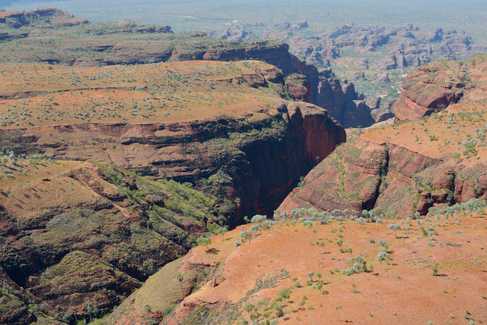
By the way, the photo below has not been enhanced with photoshop. The landscape really is that colourful!


Cathedral gorge is a massive sandstone overhang underneath a waterfall. Imagine the force of the water digging out this cavity!

Echidna Chasm is very hard to photograph due to its size and contrast in light. Note the little blob standing in the middle - that's me. 

We did our longest one-day walk ever: 21.2 km to Piccaninny Gorge and back. After the first 5 km there is nobody else!


The "trail" was the dry creek bed, which comprised rock, gravel or sand.


Me, having a rest at Black Rock Pool (with very sore feet!).

The beautiful red cliffs of Piccaninny Gorge.

This was definitely on my bucket list: a helicopter flight over Purnululu. Again, the helicopter had no doors and it was a very windy day. What an amazing flight! Definitely one of the highlights of the trip! Below some of the beautiful patterns and colours of the rock formations.




Note the fishbone look of the road. The graders create dirt ditches off the road, so the water drains during the wet season.

Unfortunately the cane toad has arrived in WA! It was depressing to see the high number of toads and low numbers of quolls, goannas and snakes etc. in the eastern Kimberley compared to the western Kimberley, where the toad hasn't arrived yet (but is expected during the next wet season).
Between April and July 2014 visitors collected 40,000 cane toads on one campground in Purnululu!

Our campsite was regularly visited by chatty groups of double-barred finches.

This complicated structure was created by a bower bird. In NSW they collect blue things, up here they seem to like white.


Mitchell Plateau

The Mitchell Plateau is a 200km detour on a very bad road, but definitely worth the effort! The famous Mitchell Falls are just stunning! We decided to take a helicopter to get to the falls (6 minute ride) and then walk back in order to appreciate the falls from the air......

.... and from the ground.

They removed the doors of the helicopter! When it banked to the left I would have fallen out except for the seat belt. It was quite an adrenalin kick!

Below is a short video clip of the helicopter flight over the falls. I don't think it works on iPads though, sorry, computers only.

Unfortunately, this was our first overcast day in over two months! At least it wasn't too hot. Kirsten can be seen on the right, crossing the top of Big Mertens Falls.

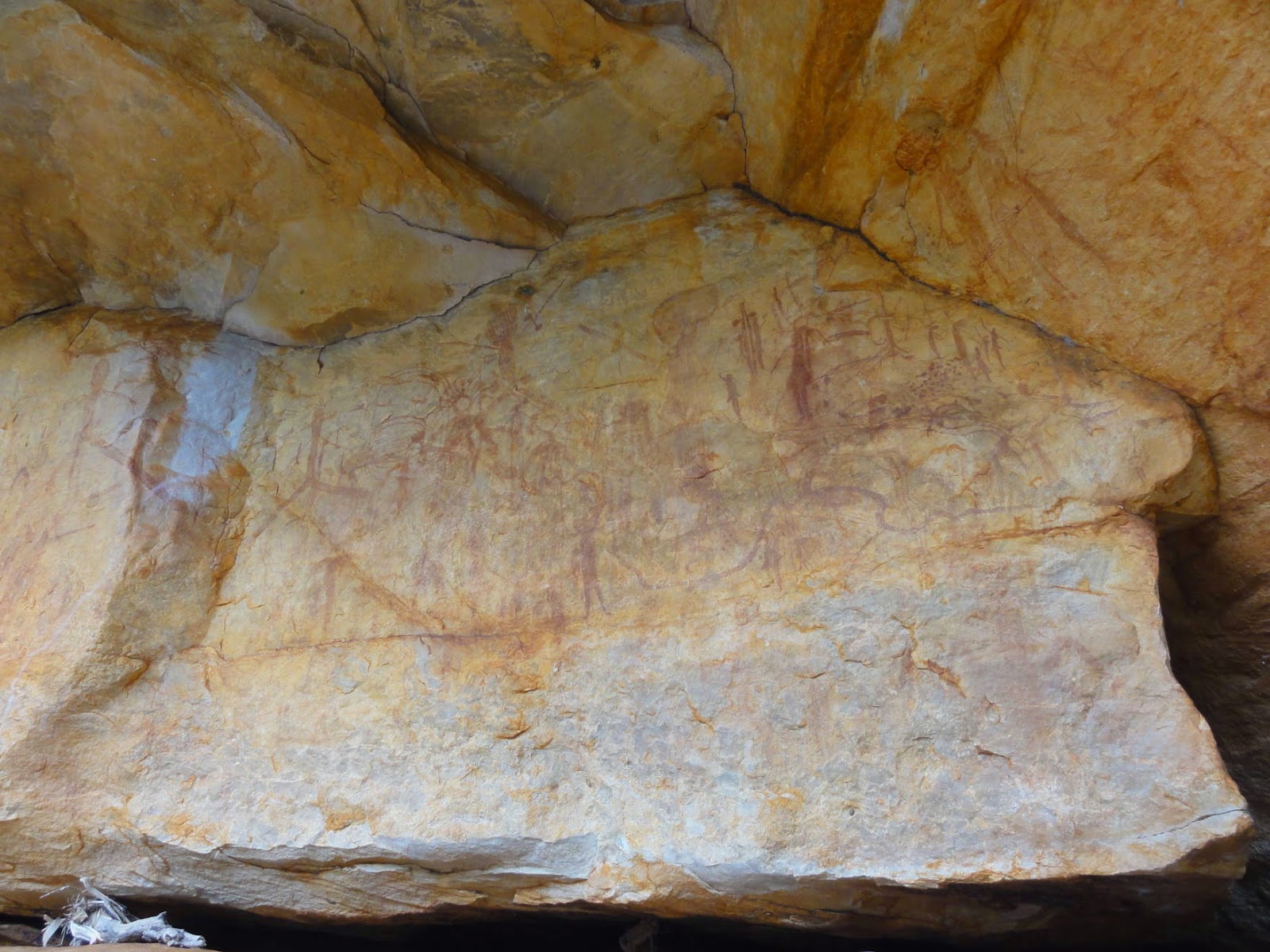
As always, we spent some time climbing around cliffs and overhangs to look for Aboriginal rock art.

The paintings here are completely different from the ones we saw in the western Kimberley. The northern WA was densely populated by different Aboriginal clans.

The road continues north to the coast, as seen here from Warrender Hill. The condition of the road got so bad, however, that we decided to turn around (or was it just me?)

Another amazing place is the Munurru camping area on the King Edward River. How is this for a late afternoon swim?! 


I was fascinated by the rock formations around the waterfall - the result of seasonal flooding for thousands of years.


The flora was fascinating too, here a lovely colour arrangement.

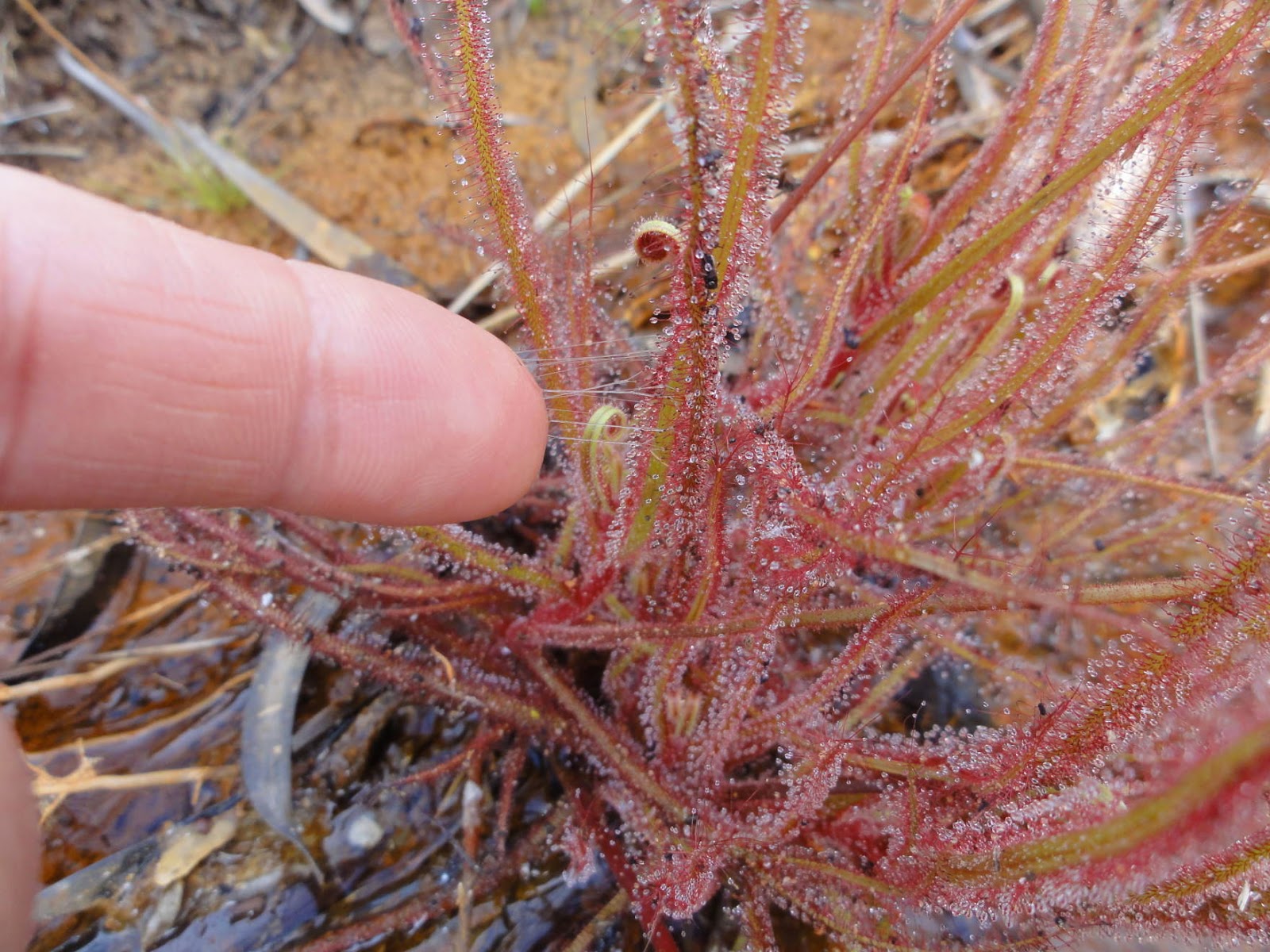
This seems to be another species of carnivorous plant. The "glue" can be seen everywhere except on the flower and the plant was covered in little insects. Note how sticky it is below - it didn't want to let go of my finger!


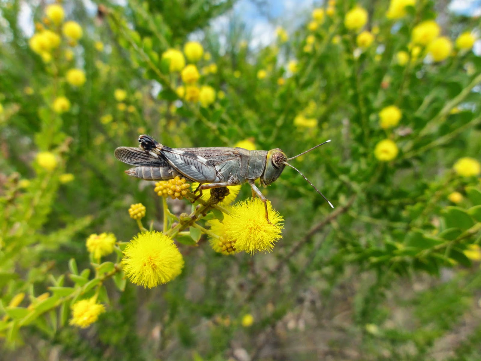
Below are some more of the locals:


Back to the East Kimberley

We decided to go back to the Kimberley because we missed the eastern third before meeting Kirsten's family in Darwin. On our way back to northern WA we visited Keep River National Park. It is a small, easily accessible and little known park, which is absolutely stunning! There are several amazing walks and two camping areas.


The purpose of this roof is to collect rainwater for the campers. Why not put a picnic table underneath instead of a tree?

Kirsten bought a new camera with a good zoom lens. Now I can take bird photographs! Below a blue-winged Kookaburra, the northern version of our Laughing Kookaburra (they laugh as well by the way).

A black-headed python crossing the road. Lucky we never go very fast!

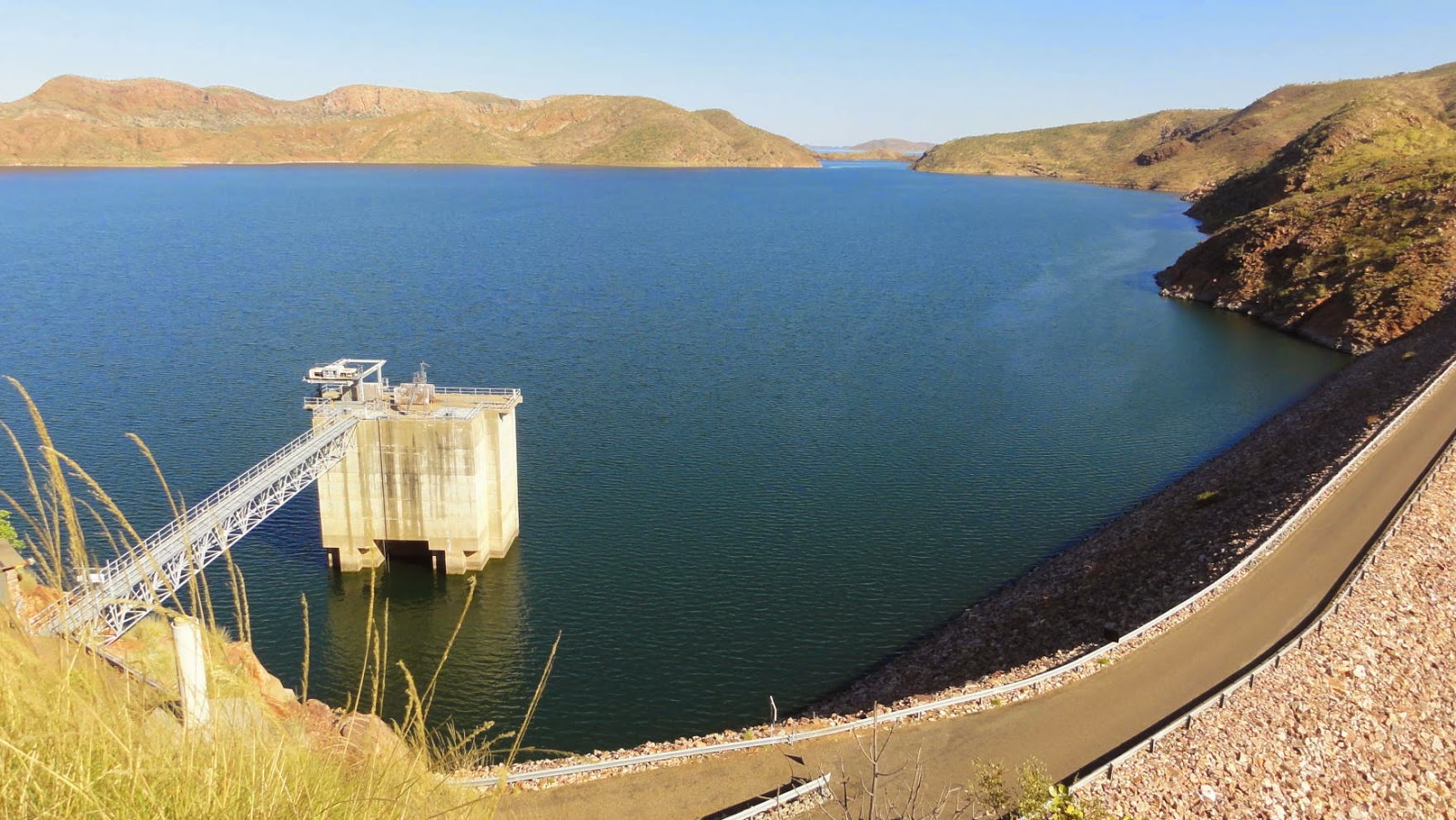
Lake Argyle is Australia’s largest expanse of freshwater and contains up to 10,763 gigalitres (21 Sydney Harbours!) of water. It is a man-made lake, providing irrigation for farming land around Kununurra.  

Most of Argyle Downs, a cattle station, is now under water (including many sacred Aboriginal sites).

The irrigated areas are clearly visible on Google Earth, surrounded by an otherwise very dry country

The farm activities include the growing of melons, mangoes, Indian sandalwood, cotton and rice. A field of sunflowers below - looks a bit European, doesn't it?

Wyndham was first established in the 1880's as a port to service the goldfields and Kimberley cattle stations. It is located where five large rivers (the Ord, Forrest, King, Durack and Pentecost) enter the Cambridge Gulf. As seen below from a lookout, the area mostly contains mangrove swamps, mudflats, salt pans and brackish muddy water, which is paradise for saltwater crocodiles. Apparently, Wyndham had a "suicide club" where young men would go for a daily swim off the jetty. The activity stopped when one was taken by a crocodile.

The Ord River floodplains contain many wetlands, important to migratory birds. Parry Lagoons Nature Reserve below.

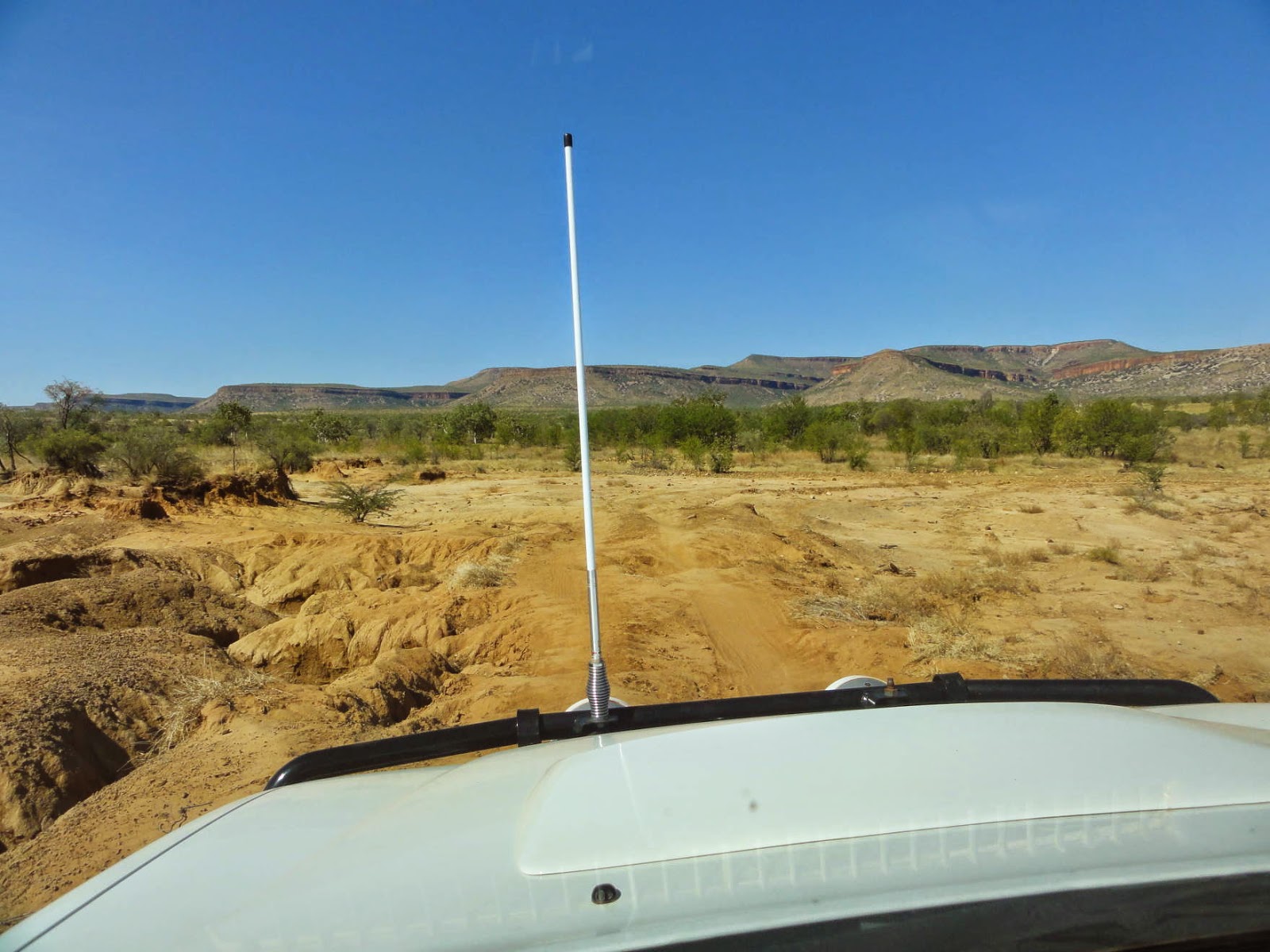
Anybody recognise this? It's where Baz Luhrmann's film "Australia" was shot. It's the Cockburn Range, which is an extensive sandstone escarpment, surrounded by seasonal floodplains.

We circumnavigated the range on a badly maintained 4WD track. Great fun!

Cheers! Kirsten photographing the sunset on the range from Home Valley, a cattle station on the Pentecost River. The result below.


El Questro is another working cattle station and is famous as a "wilderness park tourist resort". The property is almost 1,000,000 acres in size and comprises spectacular gorges, waterfalls, creeks and swimming holes. At Emma Gorge below, one of the waterfalls is even thermal!

A hot day of walking in the El Questro Gorge.


We saw four common tree snakes within 20 minutes! Apparently they don't eat cane toads!

Moonshine Gorge on El Questro below....

..... and some of the country seen from a lookout.

The Rainbow Bee-eater is one of most common residents.